The Rights of Way around the area fall into the standard four categories, which are:
Footpaths - FP, Bridleways - BW, Restricted Byway - RB and Byway - BY
The categorisation of these Rights of Way can be found on the Wiltshire Council website.
We request that you adhere to the footpaths and respect occasional notices regarding stock in fields or nesting birds. Dogs should be kept under close control. The Chalke Valley is home to several commercial shoots and hours of preparation go into these shoots, local lively-hoods depend on their success and they bring added value to the village's local businesses. There is a downloadable map of designated footpaths above.
The walking routes described below are to be found on Ordnance Survey Explorer Map, 1:25,000 Sheet 130, Salisbury and Stonehenge.
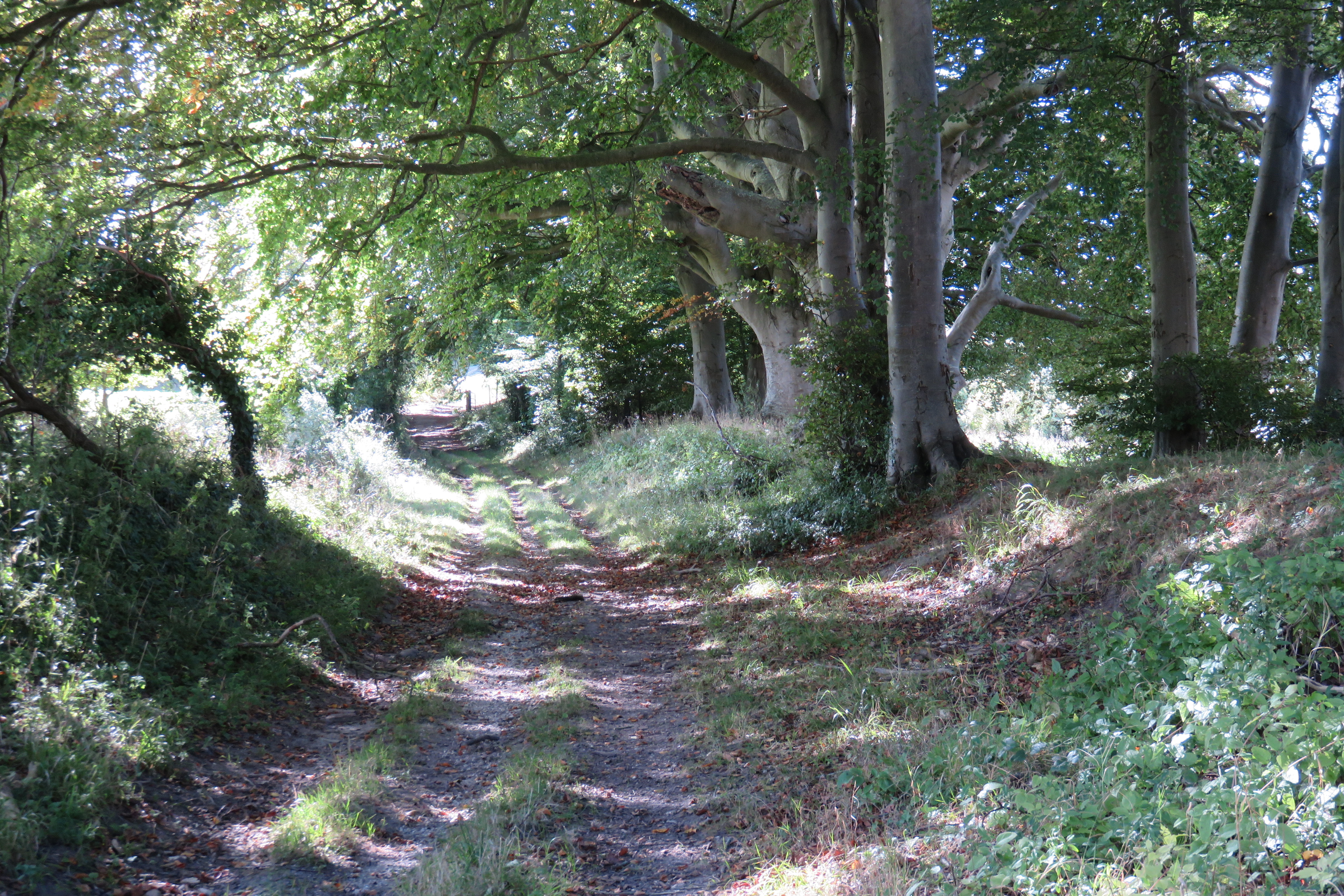
WALKS AROUND BISHOPSTONE
The start point for most walks is The White Hart pub at GR 068258, where you are always assured of a good welcome.
The walks are grouped by area, north of the High Road, W to SW to S of the village and E to SE to S of the village.
Our walks are graded:
Easy: 1-2 miles
Average 3-4 miles
Difficult: 5 miles or more
North of High Road
Walk 1
From the White Hart go east along the pavement, past the Cricket Field and turn north at GR 070259 up the paved track which rises steeply up the hill. Follow the track to GR 073284, the northern side of Poor Patch, turn left and follow the track around Poor Patch, back down the hill rejoining the paved track at Chalk Hollow and back to your start point.
Distance: 3.5 miles, average but steep at early stage.
Walk 2
As Walk 1 but at Poor Patch continue N to Old Shaftesbury Drove, then follow the Drove Road W to GR 062288, turning south and coming past Flamstone Farm, down the hill to High Lane at GR064258. We recommend you cross over the road here and walk through the village, via Flamstone Street and Butt Lane back to the White Hart.
Distance: 5.1 miles, difficult see Walk 1 above.
W to SW to S of the village
Walk 3
From the White Hart walk south via the road to GR 067253. follow the track (Croucheston Drove) south. At GR 067247 follow Bishopstone Hollow up to Knighton Hill Farm (This can be difficult to follow in some parts). At Knighton Hill Farm follow the road to its junction with the Ox Drove at GR 059232. Turn left on to the Ox Drove until its junction with Croucheston Drove at GR 067233, then follow Croucheston Drove north and downhill back to the village.
Distance: 4.75 miles, average.
Walk 4
From the White Hart follow the road through the village, past the fishing lakes, over the bridge and across the cross roads, following the road to the right to the Mill at Croucheston GR 065254. Follow the footpath due west beside the river to Stoke Farthing GR 053253, then south to the road, crossing to join the footpath to Knighton Hill. Turn east at Knighton Hill Farm to follow the Bishopstone Hollow Track back to Bishopstone.
Distance: 3.75 miles, difficult due to steepness of parts of the route.
E to SE to S of the village
Walks 5A and 5B
From the start point at the White Hart walk by road to pass Faulston House GR 072256. On the RH side of the road just round the corner take the footpath across the field to GR 073255 and follow the track ENE past the barn complex and up the hill to GR 079257.
Walk 5A RIVERSIDE WALK TO PITTS LANE
Turn left down a gentle hill through two fields to the road at GR 075259, crossing the road to the small footbridge over the river then, following the footpath through the field to join the track to Pitts Lane. Turn left here following the marked footpath through to The Styles and back into the village.
Distance: 1.75 miles, easy.
Walk 5B THE THROOPE LOOP
At GR 079257 turn SE and follow the trail until it is joined by the course of the Roman Road from Old Sarum at GR 081254. Follow the track to GR 081253 and go through the barred gate on the left to follow the footpath gently down hill to Throope Bottom Cottages at GR 083253. Turn left and follow the track N until you reach the road at Throope Manor House. Follow the road W to GR 084263. At the junction you can either follow the road to the right to Bishopstone Church (see detail on this website) or cross the field by the marked footpath beside the river until you join the road at GR 081263, which you can follow back to the village.
Distance: 3.5 miles average.
Walk 6
CROUCHESTON DROVE AND ROMAN ROAD
From the White Hart follow the road through the village, past the fishing lakes, over the bridge and across the cross roads, following the road due south out of the village until you pass the barns on your left hand side. Continue south up rising ground, following the track (Croucheston Drove), which can be a little overgrown in summer. The path takes you through an enclosed valley and after about 1km it rises steeply up the hill to GR 060232. Turn left onto the Roman Road footpath. Again this can have crops on it, but the footpath is normally well designated. It leads across the field to a reservoir at GR073237 designated by a pole and on to a second reservoir and tumulus at GR078243. Carry along the Roman Road, then follow the track at GR081255 North West down the hill and past the barns at GR075256 back into the village for a well deserved pint!
Distance: 5.5 miles (Difficult - but a little less strenuous if walked in the opposite direction).